
|
|
|
|
|
|
|
|
|
|
|
|
|
|
|
|
|
|
|
|
|
|
|
|
|
|
|
|
|
|
|
|
|
|
|
|
|
|
|
|
|
|
|
|
|
|
|
|
|
|
|
|
|
|
|
|
|
|
|
|
|
|
|
|
|
|
|
|
|
|
|
|
|
|
|
|
|
|
|
|
|
|
|
|
|
|
|
|
|
|
|
|
|
|
|
|
|
|
|
|
|
|
|
|
|
|
|
|
|
|
|
|
|
|
|
|
|
|
|
|
|
|
|
|
|
|
|
|
|
|
|
|
|
|
|
|
|
|
|
|
|
|
|
|
|
|
|
|
|
|
|
|
|
|
|
|
|
|
|
|
|
|
|
|
|
|
|
|
|
|
|
|
|
|
|
|
|
|
|
|
|
|
|
|
|
|
|
|
|
|
|
|
|
|
|
|
|
|
|
|
|
|
|
|
|
|
|
|
|
|
|
|
|
|
|
|
|
|
|
|
|
|
|
|
|
|
|
|
|
|
|
|
|
|
|
|
|
|
|
|
|
|
|
|
|
|
|
|
|
|
|
|
|
|
|
|
|
|
|
|
|
|
|
|
|
|
|
|
|
|
|
|
|
|
|
|
|
|
|
|
|
|
|
|
|
|
|
|
|
|
|
|
|
|
|

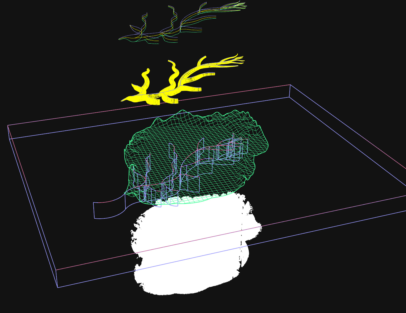
This project will acquire a GeoSLAM ZEB-HORIZON portable lidar unit and a DJI Matrice 600 Pro Uncrewed Aerial Vehicle (UAV), along with software and support required to facilitate lidar surveys by the Washington University community. During the one-year project lifetime, PI and Co-Is will use this equipment to support ongoing field exploration in the space sciences and other fields. The project will develop a data analysis and visualization pipeline in the Fossett Laboratory to facilitate use of this equipment by the broader university community. It will build relationships between the McDonnell Center for the Space Sciences and other Washington University programs including Environmental Studies, the Sam Fox School, and the Departments of Biology and Anthropology. The project will serve as proof-of-principle of the efficacy of the shared management of sensors for field exploration. It will highlight the space sciences as an intellectual home for cross-disciplinary intellectual endeavors. The project will support training and development in the space sciences by allowing students to investigate the correspondence of field observations with high resolution remotely sensed lidar data. The data and experience acquired through this project will support the pursuit of funding to create a university center (Sensorlab) dedicated to innovating, developing, and implementing sensors and sensor networks for the Earth, Space, and Environmental Sciences, while supporting the “long tail” of intellectual inquiries that can benefit from geospatial project support.
How can this technology be optimized for disciplinary investigators? UAV and microsensor technologies will transform scientific and other inquiries through the disciplinary integration of field sciences with planetary remote sensing. Field researchers with disciplinary expertise need access to equipment, expertise, and project support from experts in remote sensing and geospatial analysis. A program to provide this support would facilitate a wide range of new investigations using emerging technologies. It would create low-cost opportunities for students to develop and execute exploration missions combining fieldwork with remotely sensed data. A “long tail” of questions exist that could benefit from geospatial project support. These projects are each too small to individually support owning field equipment or employing full time geospatial staff. But a center offering staff and equipment to support these projects would have disproportionately large benefits. The academic institutions that build these transdisciplinary centers will be the leaders in exploration over the next decades.


|
|
|
|
|
|
|
|
|
|
|
|
|
|
|
|
|
|
|
|
|
|
|
|
|
|
|
|
|
|
|
|
|
|
|
|
|
|
|
|
|
|
|
|
|
|
|
|
|
|
|
|
|
|
|
|
|
|
|
